


GPS POSITIONING, MAPPING & FIELD INVENTORY
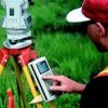
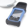
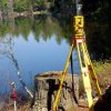
Using GPS technology, SD&D staff can record the locations of the features you need mapped. These features are located at the accuracy and on the projection that your project requires while simultaneously collecting attribute data. The processes and quality control procedures we incorporate in each project ensures the accuracy of both the positional data of GIS features and their attributes.
SD&D can design a field data collection program that meets your business model and needs. We can then train your staff on using the GPS equipment and support your in-house efforts to collect and maintain the data for your GIS. In addition, we can also directly provide the maintenance for your GIS. We have the tools necessary to collect GIS features in the field and combine the new features with existing data to update your GIS base map. We can collect data ourselves, or assist your staff in projects. If your data collection needs require fast data collection or are short-term and sporadic, consider having SDD trained staff collect the data for you.
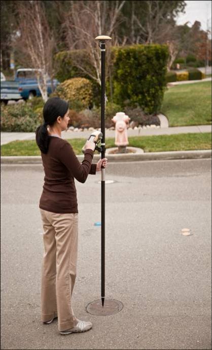
We also provide training and data dictionary setup for our clients in case they prefer to perform the field work themselves. Our staff is experienced with a number of global positioning system (GPS) brands and manual facilities inventory techniques.